Sagala
Planter's Trail
A historic 3-day traverse from Haa Valley to Chele La — through forests, ridges & sky burials
The Ancient Trail of
Haa's Planters
The Sagala Trek — popularly known as the Haa Planter's Trail — follows a historic route once used by rice cultivators from Haa Valley to assist the people of Paro during the harvest season. This centuries-old path, still largely unchanged, is a 3-day moderate point-to-point traverse that begins in Haa Valley at 2,670 m and ends at the famous Chele La Pass at 3,988 m — one of the highest motorable passes in Bhutan — before descending by vehicle to Paro.
The trail divides the Haa and Paro valleys along a forested mountain ridge, offering a remarkable dual perspective: Haa Valley to the east and Paro Valley to the west. Along the way, you pass through verdant rhododendron forests, open alpine meadows, small traditional villages of around eight households each, and yak herder encampments set at altitude. The highest point is the sacred Kung Karpo sky burial site at 4,350 m — a deeply significant location in Bhutanese culture and the most elevated moment of the trek.
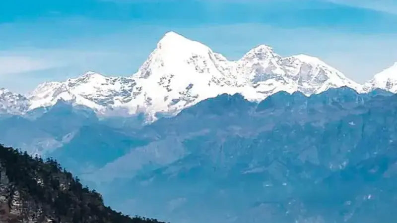
The defining view of the entire route comes from the Sagala Pass area: on a clear day, you can simultaneously see Mt. Jomolhari (7,314 m) and Jichu Drake (6,989 m) to the north, Drugyal Dzong (the ruined fortress guarding the route to Tibet) and Tiger's Nest Monastery (Taktsang) below in Paro valley, and the sacred three hills of the Haa Valley behind you. Few treks of this length anywhere in the Himalayas offer such a concentration of iconic views.
Six Reasons to Walk
the Sagala Trail
Jomolhari & Jichu Drake Views
From the Sagala Pass, on clear mornings you are rewarded with a close, unobstructed view of Mt. Jomolhari (7,314 m) — Bhutan's most iconic peak — and the jagged spire of Jichu Drake (6,989 m). These two giants dominate the northern skyline and are among the most spectacular sights in all of Bhutan.
Drugyal Dzong & Tiger's Nest
From the ridge above Paro Valley, both Drugyal Dzong — the ancient fortress built to repel Tibetan invasions — and Tiger's Nest Monastery (Taktsang) are visible simultaneously. To see these two sacred landmarks from above, from a trail almost no one else walks, is a genuinely privileged perspective.
Rhododendron & Hemlock Forests
The trail winds through some of the finest temperate forest in the Haa district — dense rhododendron canopy, hemlock and juniper stands, open meadows, and rocky ridgelines. In spring (April–May), the rhododendrons are in spectacular full bloom, transforming the trail into a corridor of colour.
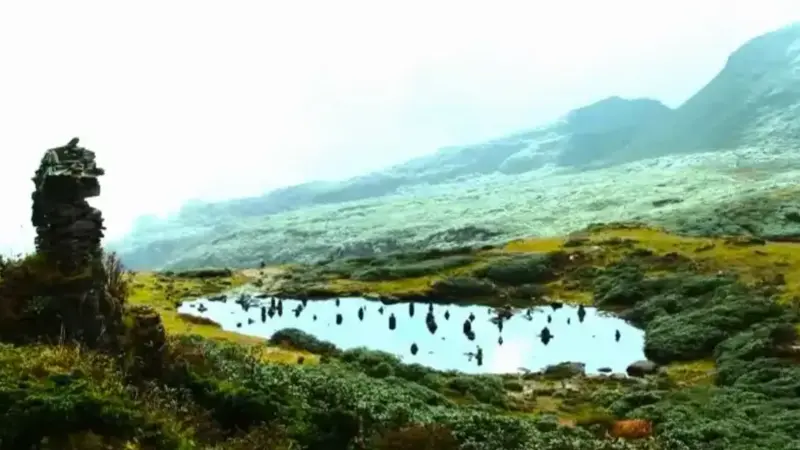
Kung Karpo Sky Burial Site
At 4,350 m, the Kung Karpo sky burial site is one of the most culturally significant points on any trek in Bhutan. Marked by stone cairns and prayer flags, this sacred site offers both a profound cultural encounter and a panoramic Himalayan perspective that makes the climb feel entirely worthwhile.
Haa Valley — Bhutan's Hidden Gem
Haa Valley was closed to tourists until 2002 and remains one of Bhutan's least-visited, most authentic destinations. Beginning your trek here — among its sacred three hills, ancient lhakhangs, and small farming communities — is itself a remarkable cultural privilege before the trail even begins.
A Perfect Haa–Paro Connector
The Sagala Trek works beautifully as a cultural connector: you begin in the secluded Haa Valley and emerge at Chele La, one of Bhutan's most scenic high passes, from which Paro — with its famous dzong, Tiger's Nest, and international airport — is just a short drive away. Two valleys, one extraordinary crossing.
Trek Highlights
& Best Season
Spring (March–May): The optimal season. Rhododendrons bloom in brilliant colour along the entire ridge section, temperatures are pleasant, and the mountain views of Jomolhari and Jichu Drake are typically clear in the early mornings before clouds build. April is considered the single best month.
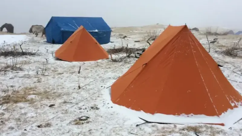
Autumn (September–November): Excellent post-monsoon clarity, stable conditions, and vivid mountain views. October offers some of the best visibility of the year and comfortable daytime trekking temperatures. Nights at the Nyingungla camp (3,850 m) require a warm sleeping bag.
Low Season (Dec–Feb & Jun–Aug): December to February brings cold conditions with potential snow at the Kung Karpo site and Chele La. Monsoon (June–August) is possible but trails are wet and views are frequently obscured by cloud cover.
Day by Day
Itinerary
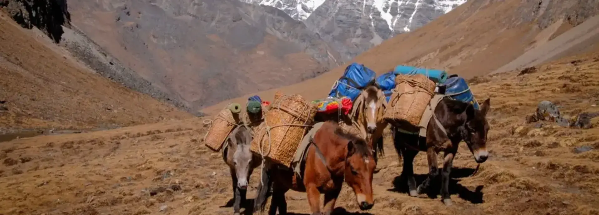
All meals on trek are freshly prepared by your camp cook. Each morning begins with a wake-up call, warm washing water, and hot tea or coffee at your tent. Trekking starts around 8:30–9 am at a comfortable pace, with a packed lunch on trail. Camp is fully set up and ready on arrival each afternoon. Pack horses carry all equipment and supplies — you trek with only a day pack.
Your trek begins in the beautiful and rarely visited Haa Valley. From the trailhead, follow an unpaved track passing to the left of the villages for less than an hour before beginning the main ascent. The path climbs steadily through farmland, then forest, past a yak herder's camp, until you reach a junction where the trail splits. Take care here: the left path leads to the summer yak herding camp and the China border — you must take the right path, which continues the final ascent to the Sagala camp nestled at 3,550 m. Altitude gain on this day is substantial (880 m), but the pace is short in distance, allowing time to acclimatise and absorb the first views back over Haa Valley below.
Begin with a 30-minute climb to the Sagala Pass at 3,550 m. On clear mornings, this is your first and finest opportunity to see Mt. Jomolhari (7,314 m) and Jichu Drake (6,989 m) dominating the northern horizon — a breathtaking reward for the effort of Day 1. From the pass, the trail continues along the right side of the ridge through a series of gradual ascents and descents, weaving through enchanting rhododendron forests and open meadows. The trail climbs to the ridge peak at 4,100 m, from where magnificent panoramas of Haa Valley unfold below. Continue through alternating hemlock and juniper forest with intermittent ridge walking, descending to your campsite at Nyingungla at 3,850 m. This is the longest and most varied day of the trek.
The final and most spectacular day begins with a short descent before the trail follows the ridge through captivating meadows and past a yak herder's camp. The path then ascends through a dense rhododendron forest toward the sacred Kung Karpo sky burial site at 4,350 m — the highest point of the trek. Stone cairns and prayer flags mark the route and the site itself. From here, the panoramic view of the Haa Valley to the east is extraordinary. Continuing on, the trail offers simultaneous views of Paro Valley to the left and Haa Valley to the right — with the Kila Goenpa Nunnery visible below on the Paro side. A series of ascents and descents leads to the famous Chele La Pass at 3,988 m, one of Bhutan's highest drivable passes. Your vehicle awaits at the pass to transfer you comfortably back to Paro, marking the end of the Sagala Trek.
Our itineraries are always customisable — you can shorten, extend, or adjust the pace to suit your needs. We can also combine the Sagala Trek with a Haa Valley cultural tour before the trek begins. Contact us to design your perfect journey.
Inclusions &
Exclusions
Included
- ✓Bhutan Sustainable Development Fee (SDF)
- ✓Licensed expert Bhutanese trekking guide
- ✓Certified camp cook & kitchen assistant
- ✓All meals on trek (breakfast, lunch & dinner)
- ✓High-quality camping tents & foam mattresses
- ✓Sleeping bags & blankets
- ✓Dining tent, toilet tent & cooking equipment
- ✓Pack horses & horsemen (full portage)
- ✓Filtered & boiled drinking water throughout
- ✓Hot washing water morning & evening
- ✓Communal first aid kit & oxygen canisters
- ✓All internal transportation (private vehicle)
- ✓Bhutan visa processing assistance
- ✓Monastery & cultural site entry fees
Not Included
- ✕ International airfare to/from Paro
- ✕ Travel & trekking insurance
- ✕ Personal trekking gear & clothing
- ✕ Alcoholic and soft beverages
- ✕ Personal expenses & gratuities
- ✕ Any services not listed above
Tour
Cost
| Group Size | Price Per Person (USD) | Notes |
|---|---|---|
| Solo Traveller (1 pax) | Contact for quote | Fully private experience |
| 2 Travellers | Contact for quote | Shared support crew |
| 3–4 Travellers | Contact for quote | Best value small group |
| 5+ Travellers | Contact for quote | Group discount applicable |
All prices include Bhutan's Sustainable Development Fee (SDF). Rates vary by season and group size. Contact us for a personalised quote — every trek is tailored to your group, dates, and preferences.
Payment &
Cancellation Policy
We believe in transparent, fair terms. Please review our complete Payment Terms and Tour Cancellation Policy before confirming your booking.
Read Full PolicyReal Photos from
Our Guests
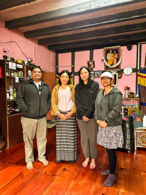
These are real, unedited moments captured by travellers who explored Bhutan with Found Bhutan. Every photo tells a story — and your story is next.
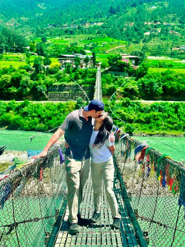
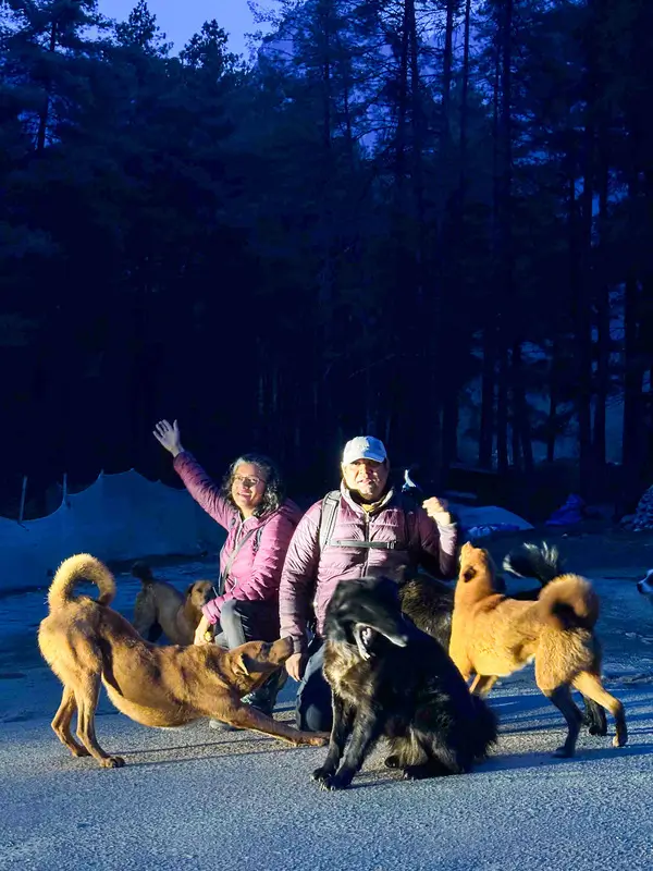

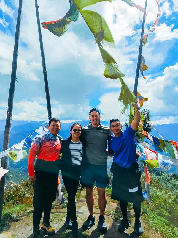
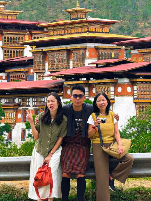
Explore the full collection of guest photos from across Bhutan.
View All Guest Photos
Customise Your
Bhutan Tour Today
Fill in the form and our expert team will get back to you within 24 hours.
More Bhutan Trekking
Druk Path Trek

Embark on The Druk Path Trek in Bhutan, exploring breathtaking landscapes, high passes, and sacred sites for a unique adventure.
Bumdra Trek
Embark on the Bumdra Trek to explore Bhutan's lush landscapes, pristine wilderness, and ancient monasteries, experiencing cultural and natural wonders.