Sagala
Planter's Trail
A historic 2–3 day traverse from Haa Valley to Drugyel Dzong — over Saga La and down the Haa Planters' Trail
The Ancient Trail of
Haa's Planters
The Sagala Trek — popularly known as the Haa Planter's Trail — follows a historic route once used by rice cultivators from Haa Valley to assist the people of Paro during the planting season, in exchange for red rice after the Haa autumn harvest. This centuries-old path, still largely unchanged, is a 2–3 day easy point-to-point traverse that begins in Haa Valley beyond Yangtong village at around 2,735 m and ends at the road near Drugyel Dzong at 2,580 m, in the Paro valley.
The trail crosses from the Haa side to the Paro side over the Saga La pass, offering a remarkable dual perspective along the way: Haa Valley behind you, Paro Valley ahead. Along the route you pass through coniferous forest and open meadows, the villages of Talung — Chenka Gom, Tsenka Wom and Langlo — farmland fenced against deer and wild boar, and the holy rock of the Nyela Demon, said to have been subdued by the 14th-century saint Thangthong Gyelpo. The highest point is Saga La itself at 3,720 m, where it is customary to leave a small offering — a rock, twig or flower — on the chorten built by generations of travellers before you.
The defining view of the entire route comes from the top of Saga La: on a clear day, you can see Mt. Jomolhari (7,315 m) and Chaterake (5,570 m) to the east, with Drugyel Dzong and Taktsang Monastery visible in the valley below, and the peaks marking the Haa border with Tibet to the west. Few treks of this length in Bhutan offer such a concentration of views for so little effort.
Six Reasons to Walk
the Sagala Trail
Jomolhari Views from Saga La
From Saga La, on clear days you are rewarded with a view of Mt. Jomolhari (7,315 m) — Bhutan's most iconic peak — and Chaterake (5,570 m) to the east, with Drugyel Dzong and Taktsang Monastery visible far below in the Paro valley.
Drugyal Dzong & Tiger's Nest
From the ridge above Paro Valley, both Drugyal Dzong — the ancient fortress built to repel Tibetan invasions — and Tiger's Nest Monastery (Taktsang) are visible simultaneously. To see these two sacred landmarks from above, from a trail almost no one else walks, is a genuinely privileged perspective.
Rhododendron & Hemlock Forests
The trail winds through some of the finest temperate forest in the Haa district — dense rhododendron canopy, hemlock and juniper stands, open meadows, and rocky ridgelines. In spring (April–May), the rhododendrons are in spectacular full bloom, transforming the trail into a corridor of colour.
Saga La & the Nyela Demon
The trail passes a holy rock said to be the Nyela Demon, subdued by the saint Thangthong Gyelpo and turned to stone. At Saga La itself, it's customary to leave a small offering on the chorten built by generations of travellers before you — a living tradition on one of Haa's oldest trading routes.
Haa Valley — Bhutan's Hidden Gem
Haa Valley was closed to tourists until 2002 and remains one of Bhutan's least-visited, most authentic destinations. Beginning your trek here — among its sacred three hills, ancient lhakhangs, and small farming communities — is itself a remarkable cultural privilege before the trail even begins.
A Perfect Haa–Paro Connector
The Sagala Trek works beautifully as a cultural connector: you begin in the secluded Haa Valley and emerge at the road near Drugyel Dzong, from which Paro — with its famous dzong, Tiger's Nest, and international airport — is just a short drive away. Two valleys, one historic crossing.
Trek Highlights
& Best Season
Spring (March–May): The optimal season. Rhododendrons bloom in brilliant colour along the ridge, temperatures are pleasant, and the mountain views of Jomolhari are typically clear in the early mornings before clouds build. April is considered the single best month.
Autumn (September–November): Excellent post-monsoon clarity, stable conditions, and vivid mountain views. October offers some of the best visibility of the year and comfortable daytime trekking temperatures. Nights at the Khadey Gom and Dongney Tsho camps (~3,200–3,235 m) require a warm sleeping bag.
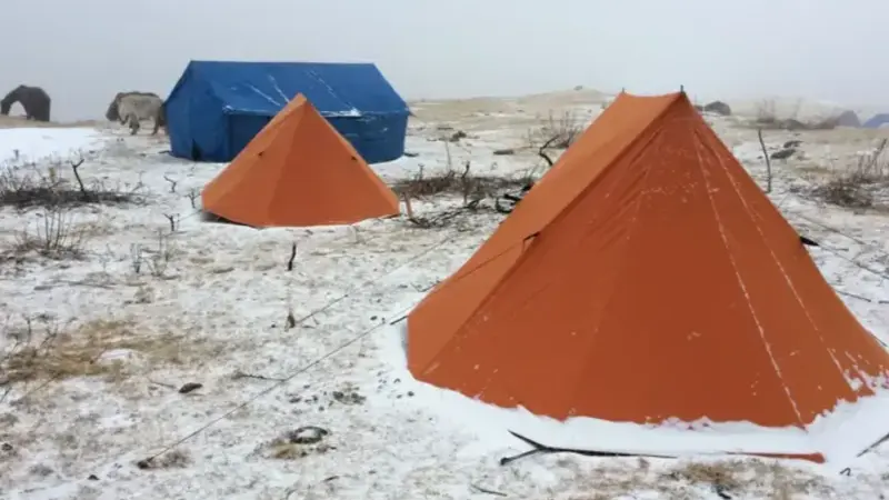
Low Season (Dec–Feb & Jun–Aug): December to February brings cold conditions with potential snow at Saga La. Monsoon (June–August) is possible but trails are wet and views are frequently obscured by cloud cover. This route is best after the local harvest, when it was traditionally walked.
Day by Day
Itinerary
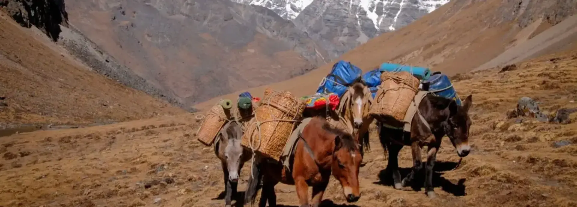
All meals on trek are freshly prepared by your camp cook. Each morning begins with a wake-up call, warm washing water, and hot tea or coffee at your tent. Trekking starts around 8:30–9 am at a comfortable pace, with a packed lunch on trail. Camp is fully set up and ready on arrival each afternoon. Pack horses carry all equipment and supplies — you trek with only a day pack.
A short 20-minute drive from Haa town brings you to the trailhead beyond Yangtong village. From there the trail climbs steadily through pine forest and open meadows in the area known as Talung, home to the villages of Chenka Gom, Tsenka Wom and Langlo. The path winds past farmland fenced against deer and wild boar, crosses the wooden Chagdo Zam ("iron bridge"), and passes a holy rock said to be the subdued Nyela Demon — its twin eyes and distorted mouth carved by the 14th-century saint Thangthong Gyelpo. Camp is pitched at Khadey Gom meadow, where the rock itself sits.
A gradual hour through meadows and coniferous forest leads into a two-hour climb to Saga La, the highest point of the trek. It's customary to leave an offering here — a rock, or a twig or flower placed on the mini chorten built up by generations of travellers before you — and to shout "Lhagyelo" ("May good always win over evil") for good luck. On a clear day the pass gives a view in both directions: Jomolhari and Chaterake to the east, with Drugyel Dzong and Taktsang Monastery visible far below in the Paro valley, and the peaks marking the Haa-Tibet border to the west. From the pass it's all downhill — a good two hours through conifer forest and rhododendron, past the black Choshola mountain, to camp at Dongney Tsho.
A steeply downhill hike of about ninety minutes leads to the Genchu Zam bridge, through thick vegetation alive with laughing thrushes, magpies, nutcrackers and pheasants. The trail passes the small eight-household village of Chodeyphu, set at the base of Laump Bjara ("Foggy Mountain"), before a final hour brings you to Balakha Chhu — where the ancient Haa Planters' Trail ends, on the road near Drugyel Dzong. A vehicle meets the trek here for the transfer into Paro.
Our itineraries are always customisable — you can shorten, extend, or adjust the pace to suit your needs. We can also combine the Sagala Trek with a Haa Valley cultural tour before the trek begins. Contact us to design your perfect journey.
Inclusions &
Exclusions
Included
- ✓Bhutan Sustainable Development Fee (SDF)
- ✓Licensed expert Bhutanese trekking guide
- ✓Certified camp cook & kitchen assistant
- ✓All meals on trek (breakfast, lunch & dinner)
- ✓High-quality camping tents & foam mattresses
- ✓Sleeping bags & blankets
- ✓Dining tent, toilet tent & cooking equipment
- ✓Pack horses & horsemen (full portage)
- ✓Filtered & boiled drinking water throughout
- ✓Hot washing water morning & evening
- ✓Communal first aid kit & oxygen canisters
- ✓All internal transportation (private vehicle)
- ✓Bhutan visa processing assistance
- ✓Monastery & cultural site entry fees
Not Included
- ✕ International airfare to/from Paro
- ✕ Travel & trekking insurance
- ✕ Personal trekking gear & clothing
- ✕ Alcoholic and soft beverages
- ✕ Personal expenses & gratuities
- ✕ Any services not listed above
Tour
Cost
| Group Size | Price Per Person (USD) | Notes |
|---|---|---|
| Solo Traveller (1 pax) | Contact for quote | Fully private experience |
| 2 Travellers | Contact for quote | Shared support crew |
| 3–4 Travellers | Contact for quote | Best value small group |
| 5+ Travellers | Contact for quote | Group discount applicable |
All prices include Bhutan's Sustainable Development Fee (SDF). Rates vary by season and group size. Contact us for a personalised quote — every trek is tailored to your group, dates, and preferences.
Payment &
Cancellation Policy
We believe in transparent, fair terms. Please review our complete Payment Terms and Tour Cancellation Policy before confirming your booking.
Read Full PolicyEssential Tips for the Sagala Trek
Rated easy over 2–3 days and roughly 23km, with the main climb to Saga La on Day 2. A reasonable baseline fitness level is enough — this trek sees far fewer visitors than routes near Paro or Thimphu, so trail conditions can be less established underfoot.
The highest point, Saga La, reaches approximately 3,720m. Ascend at a steady pace and stay hydrated — most trekkers manage this comfortably given the short overall duration and low starting altitude.
A warm layer for camp, sturdy hiking boots, and a camera for the Jomolhari views from the ridgeline are the essentials. This is one of Bhutan's least-visited trekking valleys, so don't expect any facilities along the route — your guide and crew carry everything you need.
March–May and September–November offer the clearest views and most stable trail conditions, avoiding the summer monsoon and winter snow at the higher elevations.
A licensed guide is required for every trek in Bhutan. Found Bhutan handles your visa, SDF, and any required permits as part of your booking.
Sagala Trek
FAQ
How hard is the Sagala Trek?
Rated easy — 2–3 days and roughly 23km with one significant climb, to Saga La. A reasonable fitness level is enough; the bigger factor is that this valley sees far fewer visitors, so trail conditions are less established than routes near Paro or Thimphu.
What is the maximum altitude on the Sagala Trek?
The highest point, Saga La, reaches approximately 3,720m.
Do I need a permit for the Sagala Trek?
Yes — a trekking permit and a licensed Bhutanese guide, same as every trek in the country. Found Bhutan arranges this as part of your booking.
When is the best time to do the Sagala Trek?
March–May and September–November, avoiding the summer monsoon and winter snow at higher elevations.
Real Photos from
Our Guests
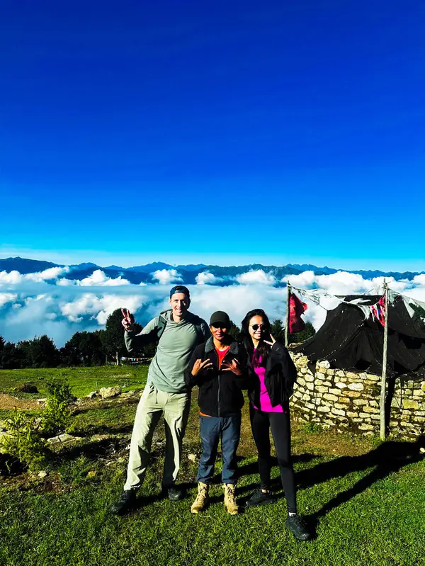
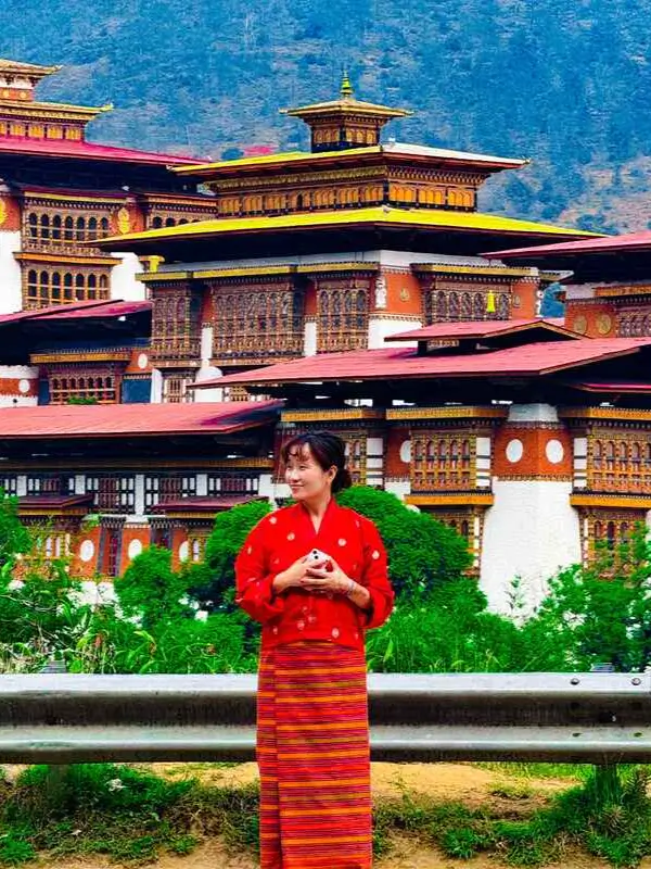
These are real, unedited moments captured by travellers who explored Bhutan with Found Bhutan. Every photo tells a story — and your story is next.

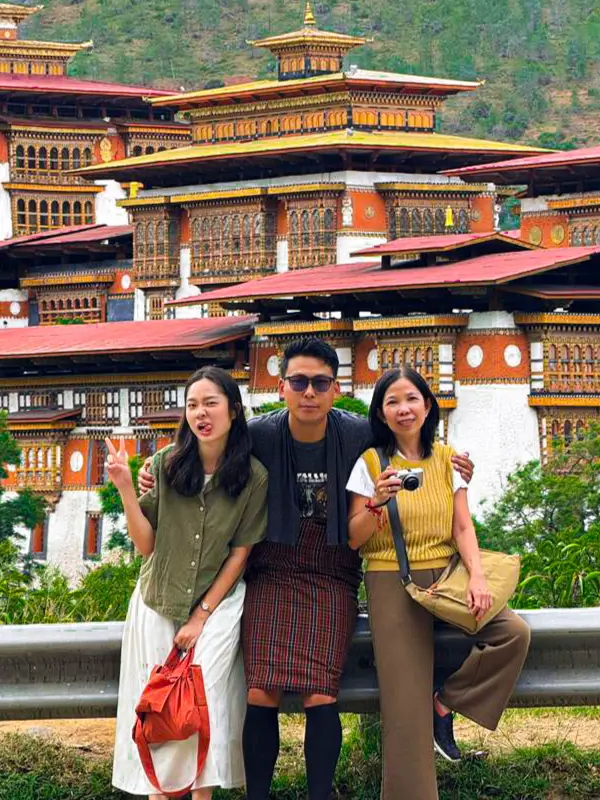
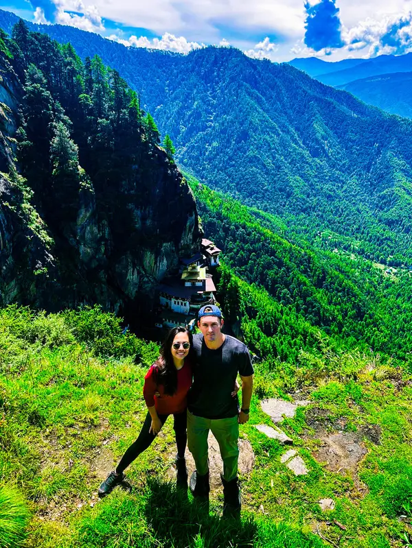
Explore the full collection of guest photos from across Bhutan.
View All Guest Photos
Customise Your
Bhutan Tour Today
Fill in the form and our expert team will get back to you within 24 hours.
More Bhutan Trekking
Druk Path Trek

Embark on The Druk Path Trek in Bhutan, exploring breathtaking landscapes, high passes, and sacred sites for a unique adventure.
Bumdra Trek
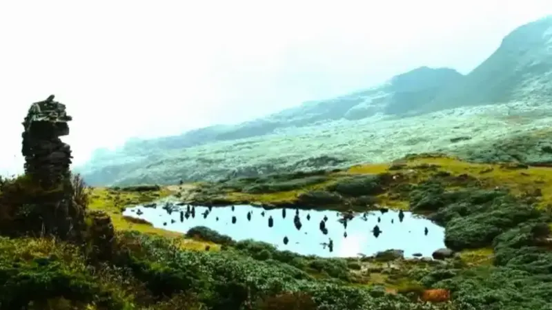
Embark on the Bumdra Trek to explore Bhutan's lush landscapes, pristine wilderness, and ancient monasteries, experiencing cultural and natural wonders.
Jomolhari Trek
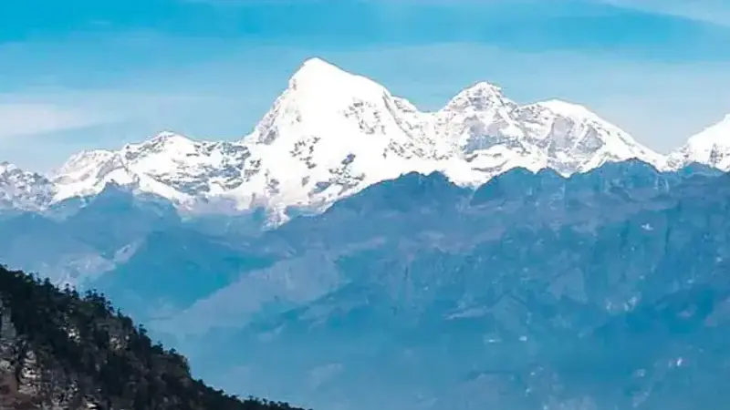
The Jomolhari Trek offers stunning views of Mt. Jomolhari, high passes, and serene meadows, showcasing Bhutan's breathtaking landscapes.
Dagala Trek
Discover Bhutan's highlands on the Dagala Trek, featuring panoramic views, serene lakes, and deep immersion in the kingdom's natural beauty.