Druk
Path Trek
Bhutan's most celebrated trail — 6 days from the Paro National Museum to Thimphu across the kingdom's high ridge
Bhutan's Most
Beloved Trek
The Druk Path Trek is Bhutan's single most sought-after trekking adventure — and for good reason. This 6-day moderate to strenuous trail connects Paro valley to Thimphu, two of Bhutan's most culturally rich and visited destinations, following a wilderness ridge that passes through some of the kingdom's finest untouched landscapes. Lonely Planet describes it as "one of the most scenic and popular treks in Bhutan, following a wilderness trail past several remote lakes."
The route spans an altitude range of 2,450 m to 4,095 m — traversing enchanting blue pine and fir forests, dwarf rhododendron groves, and high open ridgelines with sweeping views of Bhutan's Himalayan giants. The trail passes the historic Jele Dzong, small traditional villages, seasonal yak herder camps, and a succession of pristine alpine lakes. On Day 3, the breathtaking Jimilang Tsho — its crystal-clear waters home to wild trout — is the centrepiece of the route.
The crowning glory of the Druk Path is the view of Mt. Gangkar Puensum (7,570 m) — Bhutan's highest peak and the highest unclimbed mountain in the world — visible from the high passes and ridgelines on clear days. This trek offers short, manageable daily distances with conveniently positioned camps, making it challenging in altitude but accessible in logistics. It is the perfect Bhutan trek for those wanting maximum scenery in minimum time.
Six Reasons the Druk Path
is Bhutan's Best
Bhutan's Most Iconic Trek
The Druk Path is the benchmark against which all other Bhutan treks are measured. It has been walked by trekkers from around the world for decades — and continues to earn its reputation as the finest short highland trek in the kingdom, year after year.
Gangkar Puensum — The World's Highest Unclimbed Peak
From the high passes and open ridgelines of the Druk Path, on clear days you are rewarded with a view of Gangkar Puensum (7,570 m) — Bhutan's highest summit and the highest unclimbed mountain on earth. A sight few people on the planet ever see.
A Chain of Alpine Lakes
The Druk Path passes a succession of pristine highland lakes — culminating at the beautiful Jimilang Tsho on Day 3, its crystal-clear waters teeming with wild trout. These untouched, mirror-still lakes surrounded by forest and ridge are among the most photogenic moments on any Bhutan trek.
Ancient Lhakhangs & Dzongs
The trail weaves past ancient lhakhangs (temples), ruins of historic dzongs, and remote hermitages perched on ridgelines — most of which see almost no visitors. These encounters give the Druk Path an unexpectedly rich cultural dimension alongside its natural wonders.
Pristine Blue Pine & Rhododendron Forest
The lower sections of each day are walked through extraordinary blue pine forest — silent, aromatic, and largely untouched. In spring, the dwarf rhododendrons above 3,500 m burst into colour along the ridge sections, creating a landscape of remarkable beauty.
The Perfect Paro–Thimphu Connector
Starting in Paro — home to Bhutan's only international airport and the legendary Tiger's Nest — and finishing in Thimphu, Bhutan's vibrant capital, the Druk Path fits seamlessly into any Bhutan itinerary. You fly in, trek, and emerge in the city ready to explore. No backtracking required.
Trek Highlights
& Best Season
Spring (March–May): The most popular season. Rhododendrons bloom brilliantly along the upper ridges, temperatures at camp are manageable, and the sky is often clear enough for Gangkar Puensum views. April is the peak month for both conditions and colour.
Autumn (September–November): The second best season — arguably the finest for Himalayan views. Post-monsoon clarity delivers exceptional visibility from the high passes. October is the single best month for weather stability and mountain panoramas. Nights at 3,800–4,100 m require a good sleeping bag.
Low Season (Dec–Feb & Jun–Aug): Winter is cold with potential snow at the passes; possible for experienced trekkers with proper gear. The monsoon (June–August) brings lush greenery but wet, slippery trails and limited visibility. Not recommended for first-time trekkers.
Day by Day
Itinerary
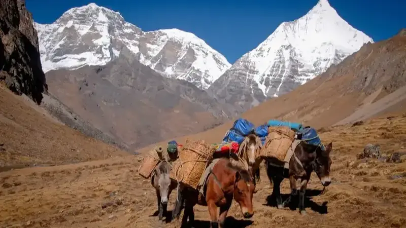
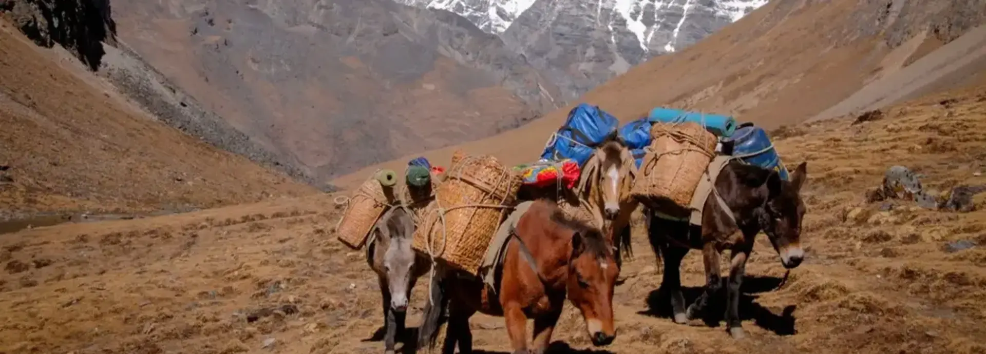
All meals on trek are freshly prepared each day by your camp cook. Each morning begins with a wake-up call, hot washing water, and tea or coffee delivered to your tent. Trekking starts around 8:30–9 am at a comfortable pace with a packed lunch eaten on trail. Camp is fully set up on arrival each afternoon. Pack horses carry all equipment — you trek with only a day pack.
You meet your trekking crew, horsemen and pack animals at the National Museum in Paro before setting off. The trail climbs almost without a break for over 1,000 m through blue pine forest and past farmhouses and apple orchards, crossing a dusty road used mainly during harvest. After passing Kuenga Lhakhang, the climb continues through fir and bamboo, past a mani wall and a giant hemlock tree, to a small pass below Jele Dzong. Camp is a short way down from the pass, within earshot of the monks' evening prayers.
A gentler day that starts with a visit to Jele Dzong itself — an impressive, wind-battered fort hung with prayer flags, with views back over Paro and, on a clear day, Jhomolhari (7,315 m) in the distance. From the dzong the trail follows the ridge north, crossing to its eastern side and climbing gradually past a possible campsite at Dorjo Lakha before reaching Tshokam, just beyond a small saddle.
The ridge walk taken by trekkers runs about two hours longer than the pack-animal route, but it is the more spectacular of the two, with sweeping views north to snow peaks and down into the valleys on both sides. The trail climbs gently to a small pass near 4,070 m, then continues along the ridge with Jhomolhari visible to the north and several monasteries — Dop Gensakha Gompa, Sharadango Gompa and Ragyo Chiwokha Gompa — visible far below in the Paro valley. The route then descends to camp at Jimilang Tsho (also called Bimelang Tsho), a large sacred lake stocked with trout.
An easier day of high-mountain walking. The trail circles Jimilang Tsho to its western end, then climbs through rhododendron bushes on an exposed cliff trail to a small saddle, passing two more lakes — regarded locally as a male and female pair — before a final ridge climb to a viewpoint above Simkotra Tsho, tonight's camp, which has some old stone ruins nearby.
Seven minor climbs to small passes lead eventually to a view down over Phajoding monastery and Thimphu beyond. From the fifth pass, Gangkar Puensum (7,570 m) — the world's highest unclimbed peak — becomes visible on clear days, and a short side climb to a rocky outlook once used for sky burials offers the best panorama of the Bhutan Himalaya on the whole trek. The final pass, windy Dochu La (4,095 m), gives way to a steep descent to camp at Phajoding, a sprawling monastery complex founded in the 13th century by the Tibetan yogi Togden Pajo.
The final, short descent from Phajoding follows a gentler trail past Chhokhortse Gompa and down through forest hung with prayer flags to the radio transmission tower above Thimphu. From there it's a drive down through Motithang, past the Thimphu Zoo and its resident takins, to the city below — a satisfying, low-effort close to six days of wilderness walking.
Our itineraries are always customisable — the trek can also be done in reverse from Thimphu to Paro. We can extend it with an extra acclimatisation day, or combine it with a pre-trek Tiger's Nest hike in Paro. Contact us to tailor it to your group.
Inclusions &
Exclusions
Included
- ✓Bhutan Sustainable Development Fee (SDF)
- ✓Licensed expert Bhutanese trekking guide
- ✓Certified camp cook & kitchen assistant
- ✓All meals on trek (breakfast, lunch & dinner)
- ✓High-quality camping tents & foam mattresses
- ✓Sleeping bags & blankets
- ✓Dining tent, toilet tent & cooking equipment
- ✓Pack horses & horsemen (full portage)
- ✓Filtered & boiled drinking water throughout
- ✓Hot washing water morning & evening
- ✓Communal first aid kit & oxygen canisters
- ✓All internal transportation (private vehicle)
- ✓Bhutan visa processing assistance
- ✓Lhakhang & cultural site entry fees
Not Included
- ✕ International airfare to/from Paro
- ✕ Travel & trekking insurance
- ✕ Personal trekking gear & clothing
- ✕ Alcoholic and soft beverages
- ✕ Personal expenses & gratuities
- ✕ Any services not listed above
Tour
Cost
| Group Size | Price Per Person (USD) | Notes |
|---|---|---|
| Solo Traveller (1 pax) | Contact for quote | Fully private experience |
| 2 Travellers | Contact for quote | Shared support crew |
| 3–4 Travellers | Contact for quote | Best value small group |
| 5+ Travellers | Contact for quote | Group discount applicable |
All prices include Bhutan's Sustainable Development Fee (SDF). Trekking surcharges are additional to SDF, guide fees, and vehicle charges. Rates vary by season and group size. Contact us for a personalised quote — every trek is tailored to your group, dates, and preferences.
Payment &
Cancellation Policy
We believe in transparent, fair terms. Please review our complete Payment Terms and Tour Cancellation Policy before confirming your booking.
Read Full PolicyEssential Tips for the Druk Path Trek
The Druk Path Trek is rated moderate — suitable for any reasonably fit adult with some walking experience. The first day involves a steady 1,000m climb from the Paro National Museum, which is the most demanding section. Begin regular walking and light cardio training 4–6 weeks before your trip. No technical climbing skills are required at any point on the route.
The trek reaches a maximum of 4,095m at Dochu La. Spend at least one night in Paro (2,280m) before starting to allow initial acclimatisation. The ascent profile is gradual enough for most people but drink plenty of water, eat light meals at high altitude, and inform your guide immediately if you experience persistent headaches or nausea. Descend if symptoms worsen.
Temperatures at camp can drop below freezing even in spring and autumn — bring a sleeping bag rated to at least -10°C and warm layers including thermal base layers, a fleece, and a waterproof shell jacket. Days can be warm and sunny at altitude so pack sun protection (SPF 50+ sunscreen, UV-protective sunglasses, a sun hat). Weather can change rapidly — always carry your rain gear.
Spring (March–May) is spectacular for rhododendron blooms and pleasant temperatures, and coincides with the Paro Tsechu festival. Autumn (October–November) offers the clearest mountain visibility and most stable weather for photography. The route is not recommended during monsoon (June–August) as trails become muddy and leeches are active. Winter is very cold above 3,500m.
Day pack essentials: 2 litres water (refilled at camp), snacks, rain jacket, sunscreen, lip balm, trekking poles (highly recommended for the descent), headlamp, camera. Your main luggage is carried by pack horses — keep your day pack under 8kg. Trekking poles make a significant difference on the steep first-day ascent and final descent into Thimphu.
The Druk Path is one of Bhutan's finest photography routes. Carry extra batteries (cold temperatures drain them fast), a polarising filter for the lake reflections, and a wide-angle lens for the Himalayan panoramas. The best light is in the hour after sunrise — set your alarm early and walk up to the ridgeline above camp for golden hour shots of Jomolhari and the lakes below.
Druk Path Trek
FAQ
How hard is the Druk Path Trek?
Rated moderate to strenuous. Expect 4–6 hours of walking most days, with one longer day of seven minor climbs on the approach to Phajoding. No technical skill is required, but the altitude (camps mostly above 3,400m) makes fitness and acclimatisation more important than the distance alone suggests.
What is the maximum altitude on the Druk Path Trek?
The highest point is Dochu La at 4,095m, reached on Day 5 between Simkotra Tsho and Phajoding. See the Quick Facts panel for the full altitude range on this itinerary.
Do I need a permit for the Druk Path Trek?
Yes — a trekking permit and a licensed Bhutanese guide for the full route, same as every trek in the country. Found Bhutan arranges this as part of your booking; see Permits & Paperwork above.
When is the best time to do the Druk Path Trek?
Spring (March–May) and autumn (September–November) offer the clearest views and most stable trail conditions. See Best Season above for a fuller breakdown.
How much does the Druk Path Trek cost?
Pricing depends on group size, season, and exact itinerary. See Tour Cost above, or request a personalised quote — pricing includes your guide, permits, SDF, camping equipment, and all meals on trek.
Real Photos from
Our Guests
These are real, unedited moments captured by travellers who explored Bhutan with Found Bhutan. Every photo tells a story — and your story is next.
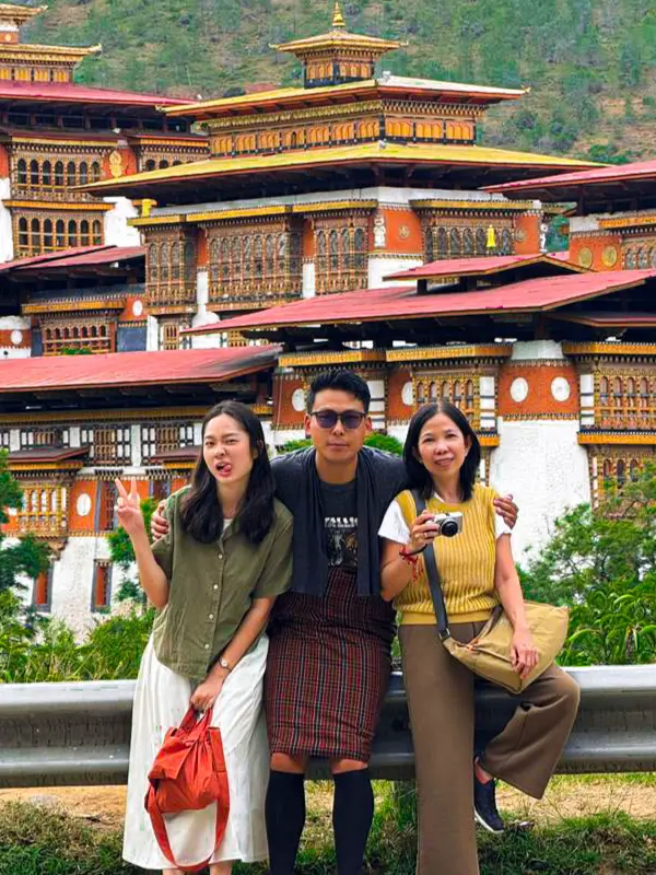
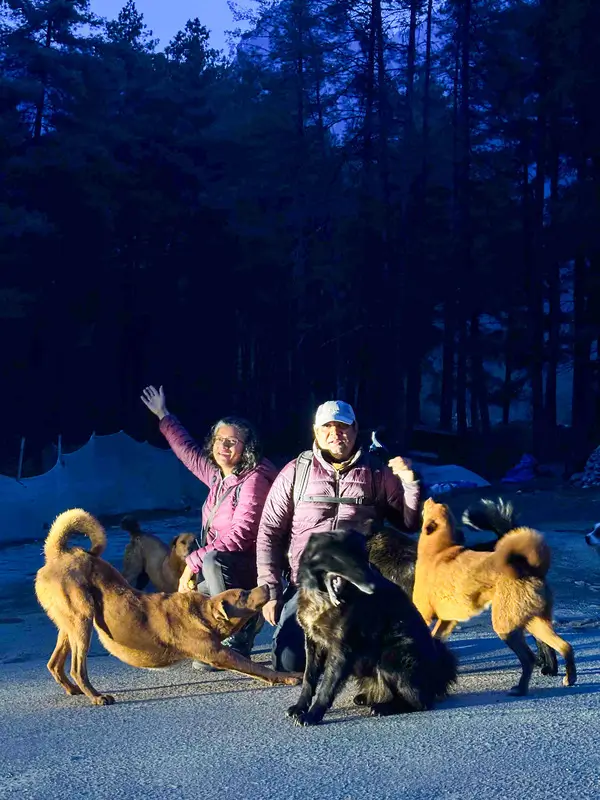
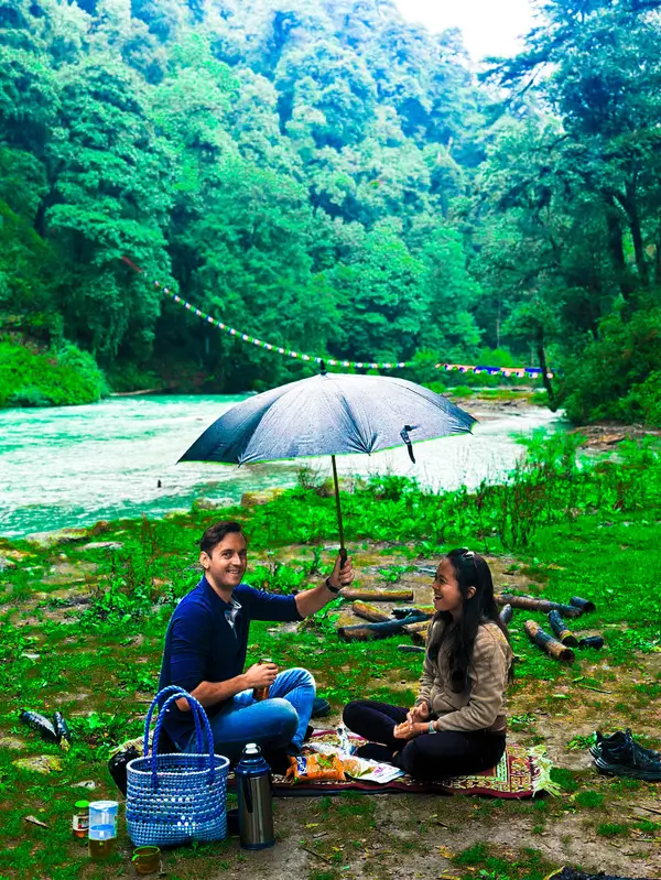
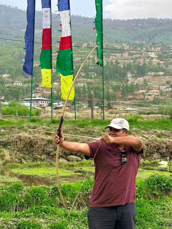
Explore the full collection of guest photos from across Bhutan.
View All Guest Photos
Customise Your
Bhutan Tour Today
Fill in the form and our expert team will get back to you within 24 hours.
More Bhutan Trekking
Dagala Trek
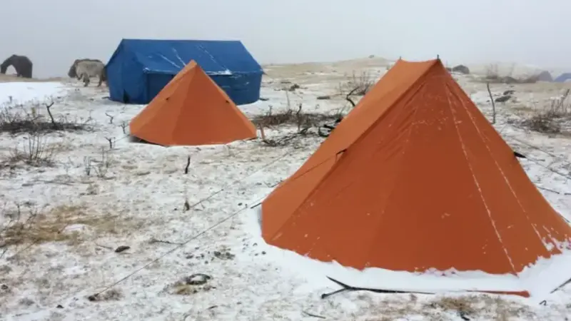
Discover Bhutan's highlands on the Dagala Trek, featuring panoramic views, serene lakes, and deep immersion in the kingdom's natural beauty.
Bumdra Trek
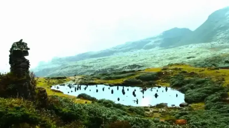
Embark on the Bumdra Trek to explore Bhutan's lush landscapes, pristine wilderness, and ancient monasteries, experiencing cultural and natural wonders.
Jomolhari Trek
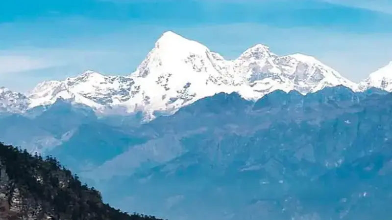
The Jomolhari Trek offers stunning views of Mt. Jomolhari, high passes, and serene meadows, showcasing Bhutan's breathtaking landscapes.